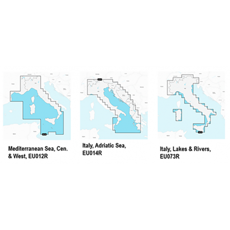
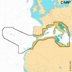
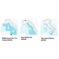
CARTOGRAPHY NAVIONICS PLATINUM+
Art. 5670055
Display real-time position, direction, speed and track. Bathymetrics, navigation aids with Xplain ™ technology, port services (gas stations, mooring, shipyards etc. With phone numbers where available), tides and currents.
Verify that the instrument is capable of reading MSD-SD memory media greater than 2 GB in capacity.
Verify that the instrument is capable of reading MSD-SD memory media greater than 2 GB in capacity.
Available
Availability over 7d
| Product | Model | ZONE | Type Zone | SUPPORT | Price list €(vat incl.) | Unit | Avail. |
|---|---|---|---|---|---|---|---|
| 5670057 | PLATINUM+ | ITALY LAKES AND COAST | REGULAR | >2GB | €258.64 | N | 4 |
| 5670059 | PLATINUM+ | MEDITERRANEA AND BLACK SEA | LARGE | >2GB | €362.95 | N | 1 |
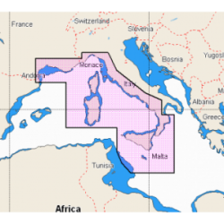
| 5670055 | PLATINUM+ | TYRRHENIAN COASTS AND ISLANDS | REGULAR | >2GB | €258.64 | N | 1 |
| 5670056 | PLATINUM+ | ADRIATIC AND IONIC SEA | REGULAR | >2GB | €258.64 | N | 1 |
Forniture nautiche italiane sells only to retailers and installers of the sector
How to became reseller?


