
Art. 5670042
| Product | Model | ZONE | Type Zone | SUPPORT | Price list €(vat incl.) | Unit | Avail. |
|---|---|---|---|---|---|---|---|
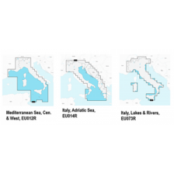
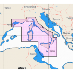
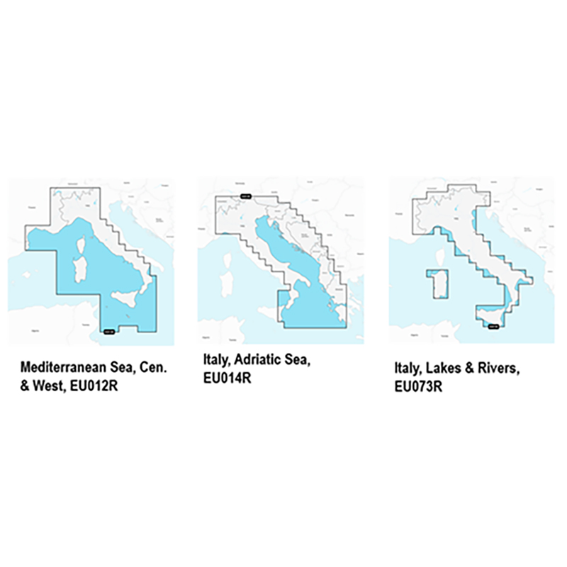
| 5670050 | NAVIONICS+ | TYRRHENIAN COASTS AND ISLANDS | REGULAR | >2GB | €162.99 | N | 1 |
| 5670051 | NAVIONICS+ | ADRIATIC AND IONIC SEA | REGULAR | >2GB | €162.99 | N | 1 |
| 5670052 | NAVIONICS+ | ITALY LAKES AND COAST | REGULAR | >2GB | €162.99 | N | 1 |
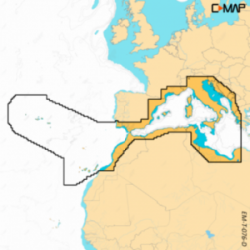
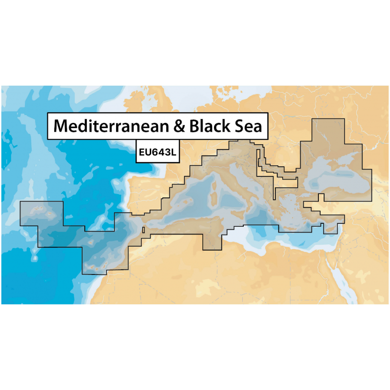
| 5670042 | NAVIONICS+ | MEDITERRANEA AND BLACK SEA | LARGE | >2GB | €253.86 | N | 1 |
Forniture nautiche italiane sells only to retailers and installers of the sector
How to became reseller?Recently Viewed